Hiking
Ruta del Esqueicer
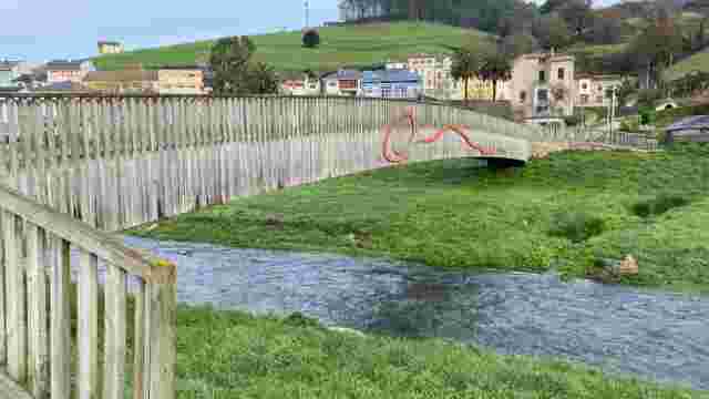
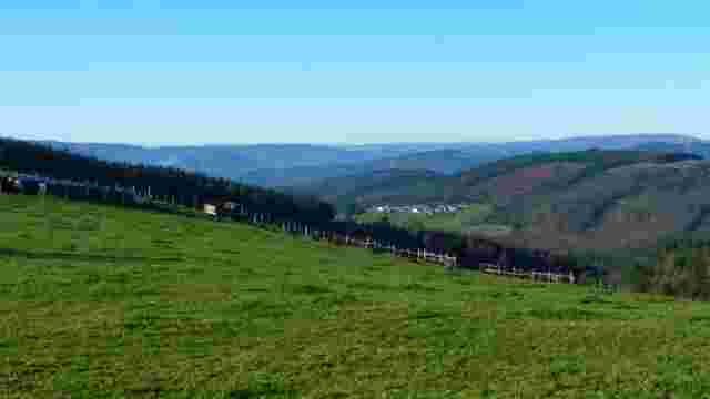
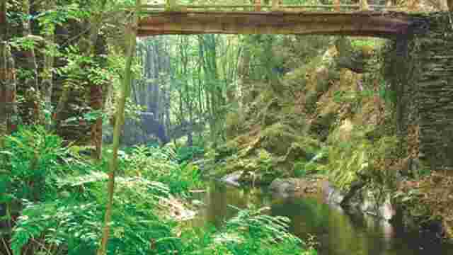
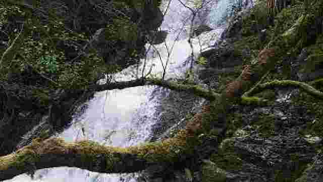
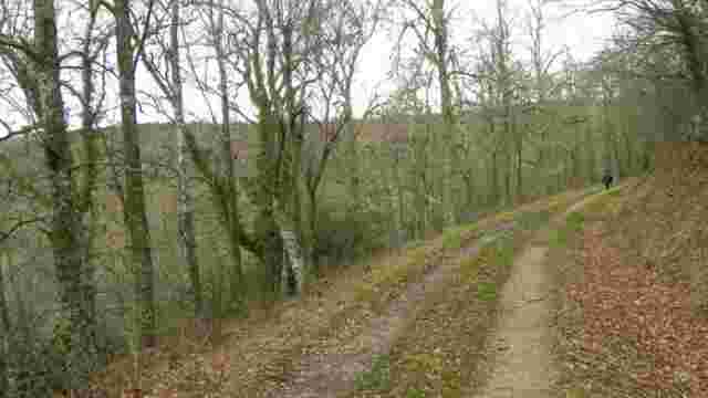
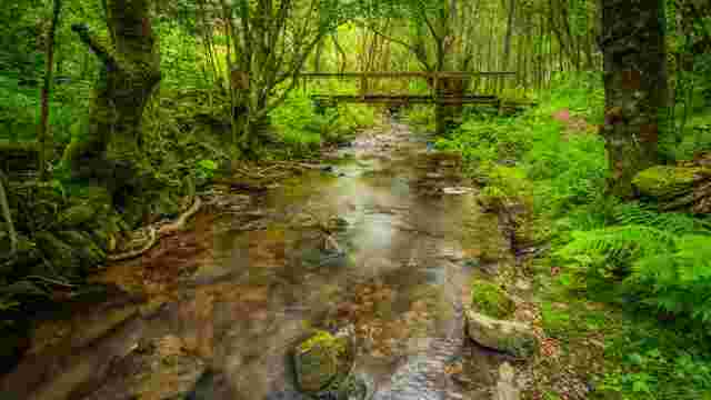
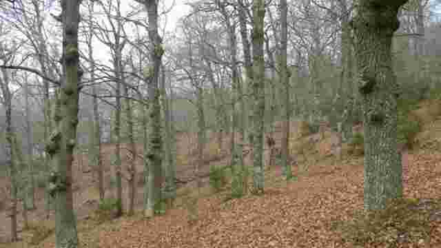
The route starts at a bend between the bridge and the village of Sualleiro, next to the flats of the same name. Inaugurated in August 2020, it is well maintained and signposted with arrows painted on trees and stones. The first section climbs gently up a comfortable track, bordered by a stone wall, while the river flows parallel to it a few metres further down.
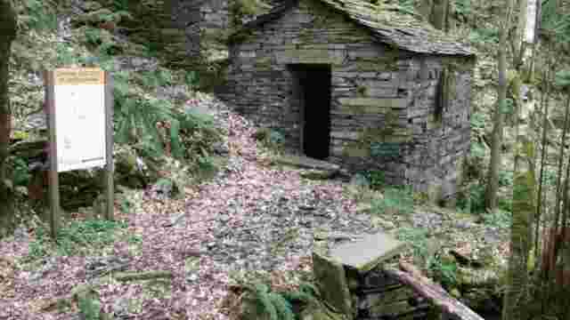
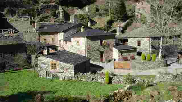
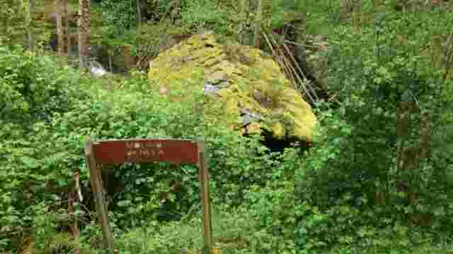
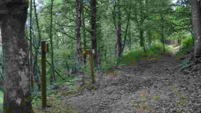
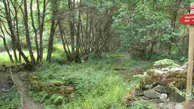
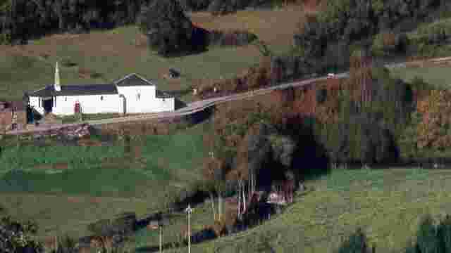
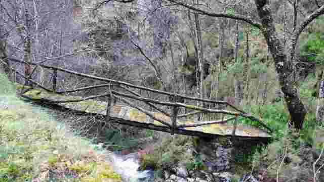
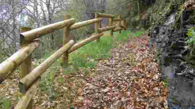
After the initial climb, the path descends to the ruins of an old hut. Shortly after, you cross a small stream, which is almost dry in summer. Through the forest you can make out a rural centre that you border, first on the right and then through its narrow streets, before taking a slope that leads you to a fork.
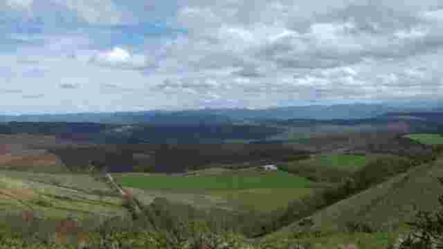
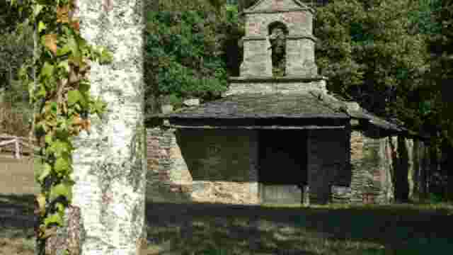
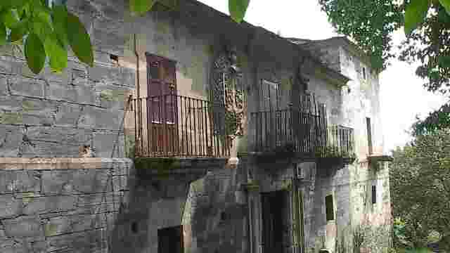
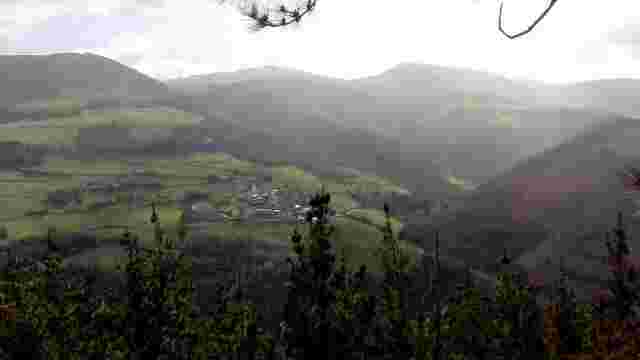
There, follow the path to the right, which climbs up to the village of Ventoso, the highest point of the route. The path to the left leads to an abandoned village, which can be visited as a detour. From Ventoso, continue along the road for a stretch until you turn right and pass through blueberry plantations, and then start to descend.
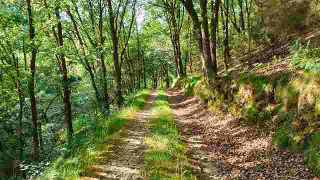
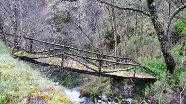
After briefly rejoining the road, we return to the path, which descends between crossroads and dirt tracks. Finally, we reach the area of the bridge, where we turn right between two houses and, after about 50 metres of asphalt, we return to the starting point, completing this circular walk.