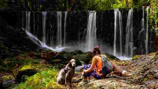
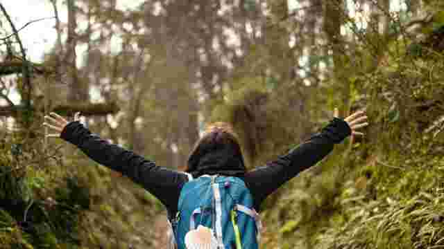
Hiking
GR-204 Senda Tapia-Vegadeo
The beginning of the route is at the Anguileiro beach, in the town of Tapia, which is accessed by the A-8 motorway and then by the AS-23 road. The existence of a pavement running parallel to the road allows walkers to join the path as hikers.
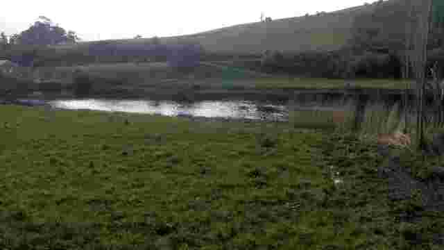
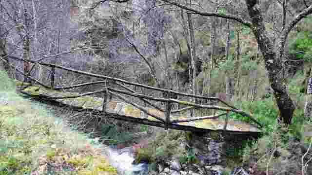
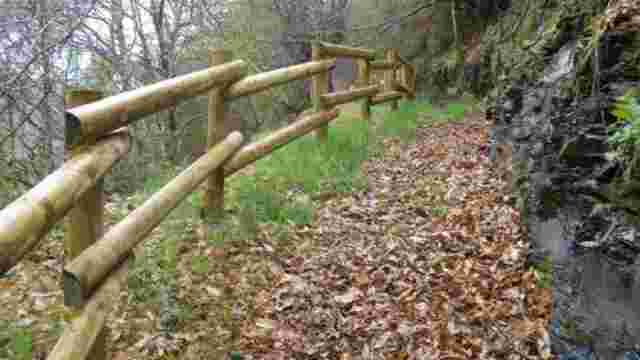
Arrival at A Xunqueira is via a wooden footbridge that crosses the river Anguileira, passing through the wetland area created by the river at its mouth, to reach the area known as La Reburdia.
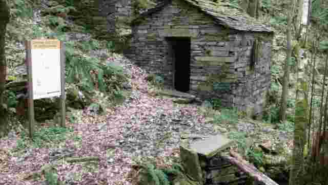
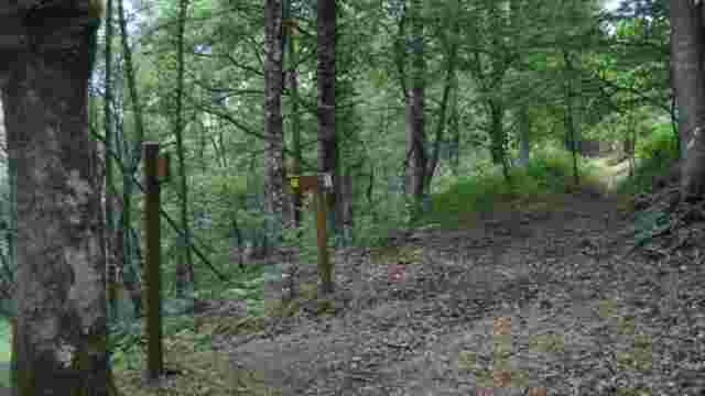
We continue along the rural road that joins Tapia with Rapalcuarto, turning right at Kilometre Point 2.2, to reach the beach of La Paloma, we cross the existing wooden footbridge and we will find an indication of the existence of the Castro de Esteiro where we can see an archaeological excavation and a sign explaining the location of all these ancient settlements.
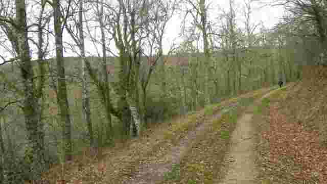
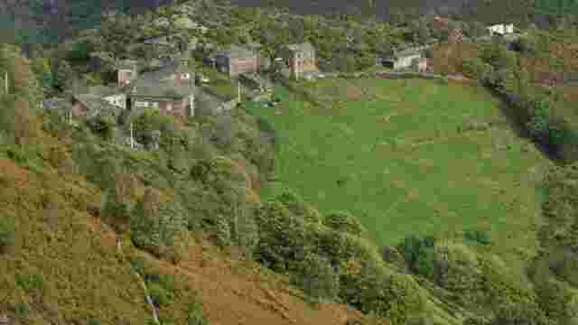
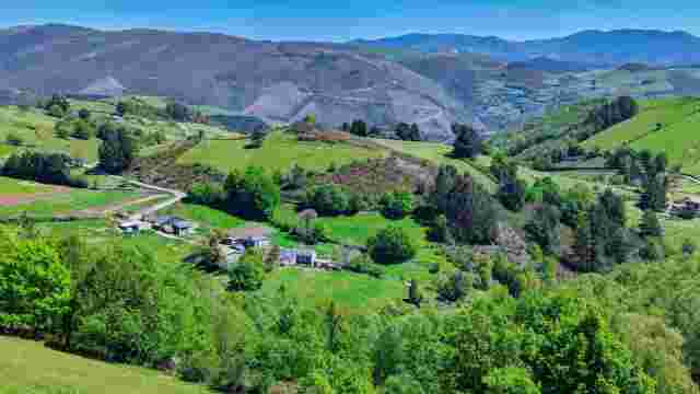
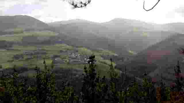
From here, along gravel paths, which have been conditioned and signposted, we reach the village of Villamil at KP 5.3. Once through the village, turn right along the new graded and signposted land consolidation tracks until you reach the turn-off to Punta Picón, where there is an observation point with an information panel.
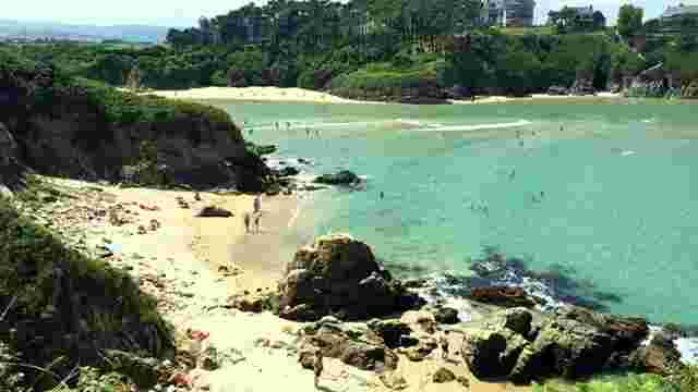
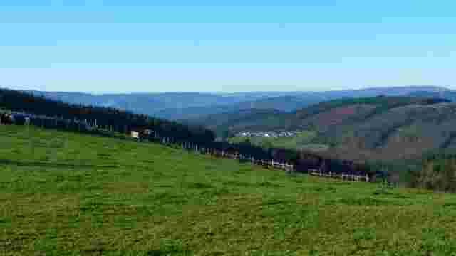
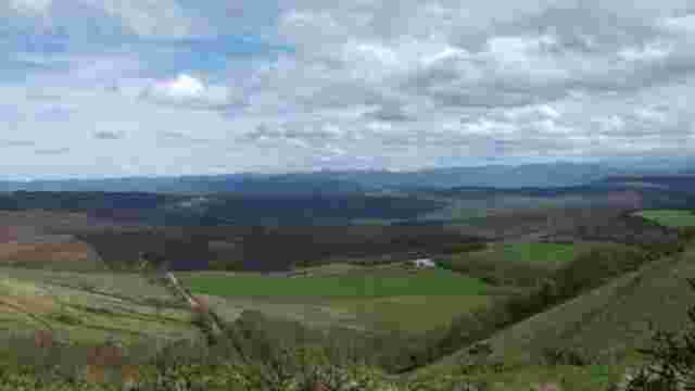
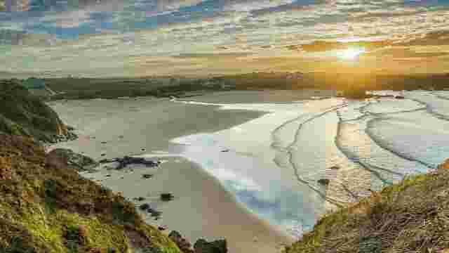
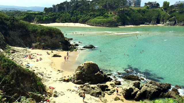
The path leads to the village of Santa Gadea, passes in front of the San Lorenzo Hermitage and ends at the beautiful Penarronda beach, which offers us an incomparable setting of tranquillity and landscape. From here, the path continues on until it reaches El Torno, from where it leads to the castreño settlement of Punta del Cuerno. The route continues and later turns onto an asphalted road coming from Villadún, towards the Arnao recreational area.
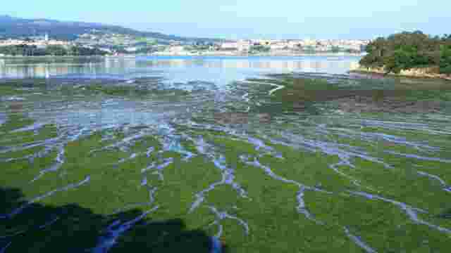
At Campa de Arnao, continuing along the path that surrounds the area and turning right, you reach the Lagosteiro area, bordering the Lagosteiro de Campa Arnao inlet. From here you can access the lighthouse of La Cruz and contemplate the Eo estuary flowing into the sea. Returning to Lagosteiro, the route continues to the Campa Arnao recreational area. It crosses under the Cantabrian motorway to reach the village of Rozaleda and continues along the streets of Teso de Lois, until it reaches the AS-31 road.
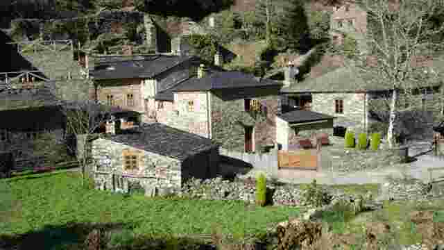
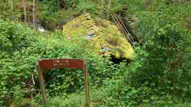
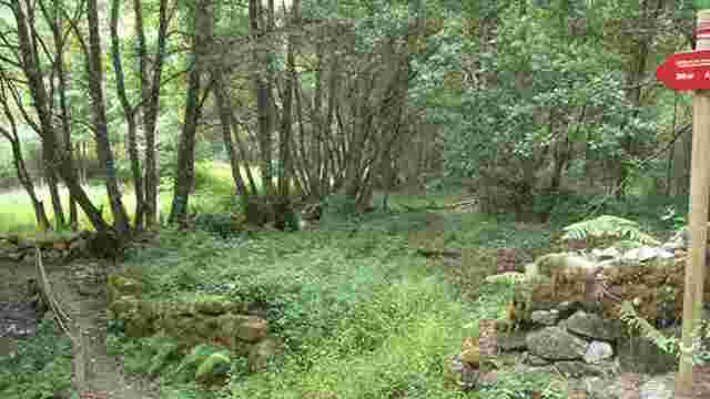
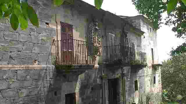
On the road that leads to the village of Oubias you can see an old tide mill: Molino As Acías. The route then crosses Oubias and immediately enters Barres.
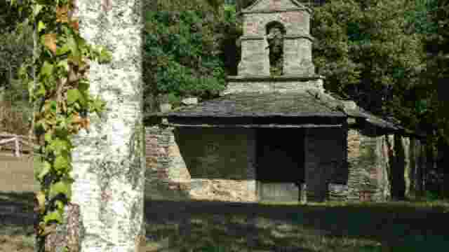
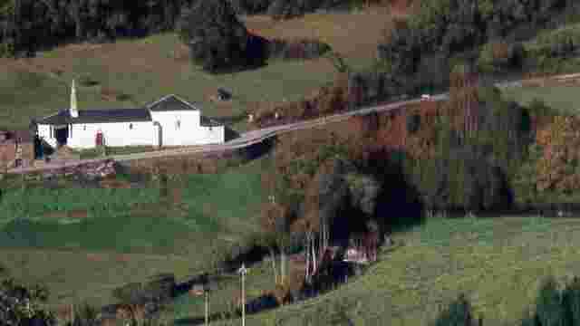
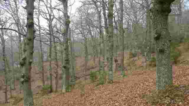
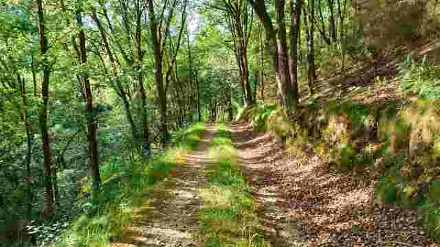
The path crosses Barres, passes the church of San Esteban and continues towards El Esquío. It then goes through the village of El Penedo, crosses the Berbesa stream, enters the pine forest of Tesón, and takes a rural path that reaches the village of Piñera.
From here it turns right until it reaches the church of San Bartolomé. Past the recreational area, turning left towards Salias, there is another area from where you can see the inlet of La Linera.
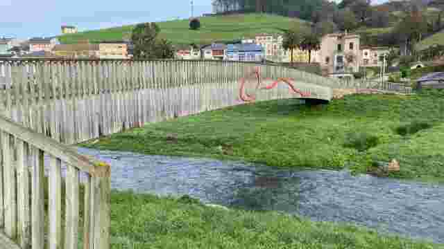
From the Salias crossroads, fording the Riofelle stream via a footbridge, the route continues towards the Liso de San Juan neighbourhood, crossing the Riofelle nurseries and the Cal nucleus. At Liso, a turn-off indicates the existence of an observation point to enjoy A ensenada La Linera.
Once again on the path, after Vilarrasa, we reach A Poceira, and from there to the village of Vilavedelle, crossing Areneira, Os Caleyones and Lantoira. Once in Vilavedelle, turn left and cross the FEVE (Gijón-Ferrol) subway to Presa, crossing the River Seares and A Casia.
After KP 30 there is a turn-off to the Caleiro recreational area, which affords an incomparable view of the Eo estuary. Finally, the path continues to the primary school on A Galea street, one of the main streets in the capital of the council, A Veiga / Vegadeo, where the route ends.